Originally Posted by
pdlamb
I'll bite, where was that picture taken? Paved road with big shoulders can't be all that steep, could it?

Steep in Appalachia is 12-18% on paved roads and up to 22% on dirt. The most level routes are occupied by interstates, rivers and railways. None of which you can use.
The biggest problem with a compass is that the roads are not E-W or N-S and can loop back on themselves 180 Degrees. A high percentage of the roads are narrow, congested and without shoulders. Without a map or damned good knowledge of the area you will end up on some really frightening roads. Even to drive them is white knuckle. Throw in some Amish buggies, logging trucks and coal trucks and you have a recipe for being involved in a head on or side swiped. Half of them don't have insurance and are not going to stop.
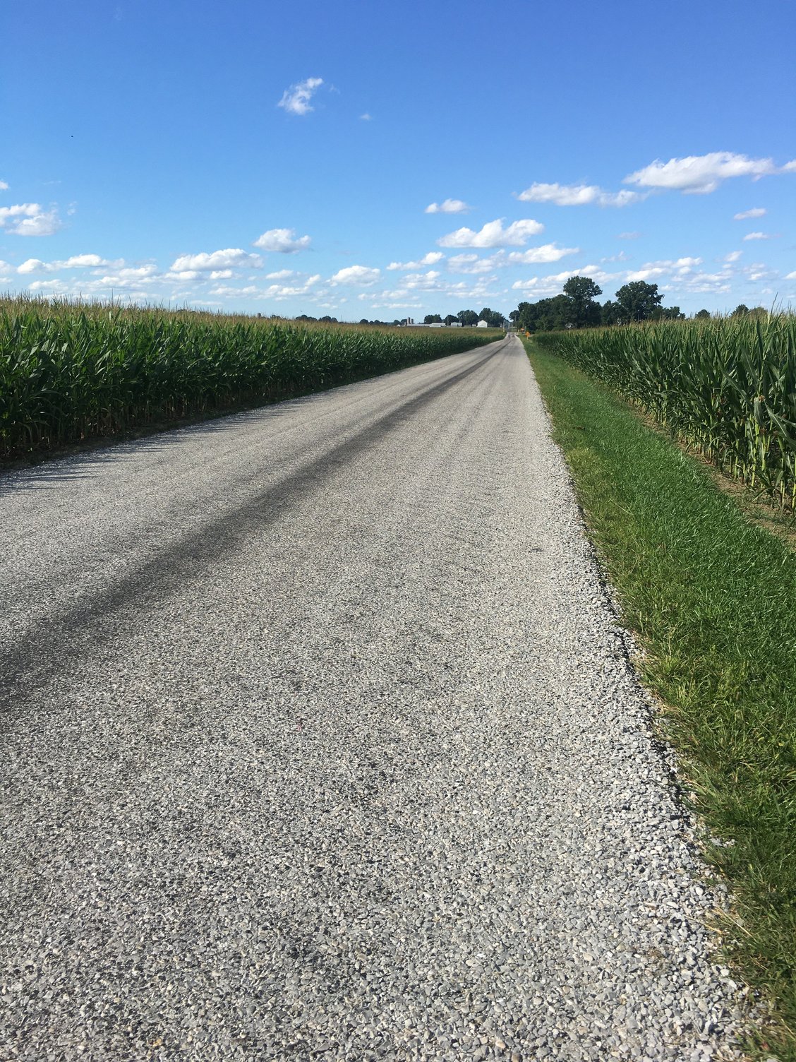
Here is a really tame road near where I live in Eastern Ohio that I ride often in the summer. This is chip and seal 16 feet wide, no centerline or edge lines. The corn is planted to within one foot of the road on one side and on the other side is a deep narrow ditch with the tops of the grass and thistles mowed flat. You go in the corn to pass a Combine and in a car, you backup and find a side road or driveway. I took this photo because it was relatively flat and showed what East Ohio is like. All roads follow the terrain here. There is no leveling or grading done. These roads existed before cars and so did the rite-of-ways. This is still 100 miles west of Appalachia. With an ACA map and a compass and you stand a chance of not getting killed. Google is a crap shoot.