I got a nice 30ish mile ride in on my late 70's Woodrup today. Kingston to Stone Ridge to Ashokan to Lomontville to Hurley to Home.
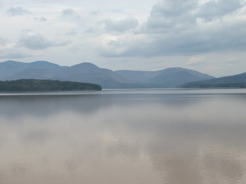
The destination of the ride is usually the Ashokan Reservoir, and today was no exception. According to Wikipedia, At full capacity, the reservoir can hold 122.9 billion gallons (465.2 million m�) of water, has a 255-square-mile (408 km�) drainage basin, and is over 180 feet (54.9 m) deep at its deepest point, making it (New York) city's deepest reservoir.
"New York City turned to the Catskills for water in the early 20th century after discovering a group of speculators calling itself the Ramapo Water Company had bought up riparian rights to many water sources further south in Rockland, Orange and Ulster counties. The Catskills were more desirable as state-owned Forest Preserve land in the region could not, under the state constitution, be sold to any other party. A recent amendment to that section of the state constitution also allowed up to 3% of the total Forest Preserve land to be flooded for reservoirs.
Residents of the area to be flooded did not take kindly to the idea, and fought eminent domain proceedings bitterly. They were aided by local lawyers familiar with the checkered history of Catskill land claims. It would be 1940 until the last were settled.
Local opponents of the reservoir also cast doubt on its soundness, saying it could never hold enough water (it would be the largest reservoir in the world at the time), but when it was filled from 1912 to 1914, they were silenced. It covered several communities located in a valley where farming, logging, and quarrying prevailed. Approximately one thousand residents along with roads, homes, shops, farms, churches, and mills were either moved or abandoned, but most of them were torn down. Several of these communities were re-established in nearby locations. 12.45 miles (20 km) of a local railroad line (the Ulster and Delaware Railroad) was moved and cemeteries were relocated."
Looking west towards the high peaks of the Catskills.
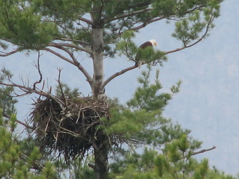
One of the resident bald eagles at the nest. Mega digital zoom catches it pretty good.
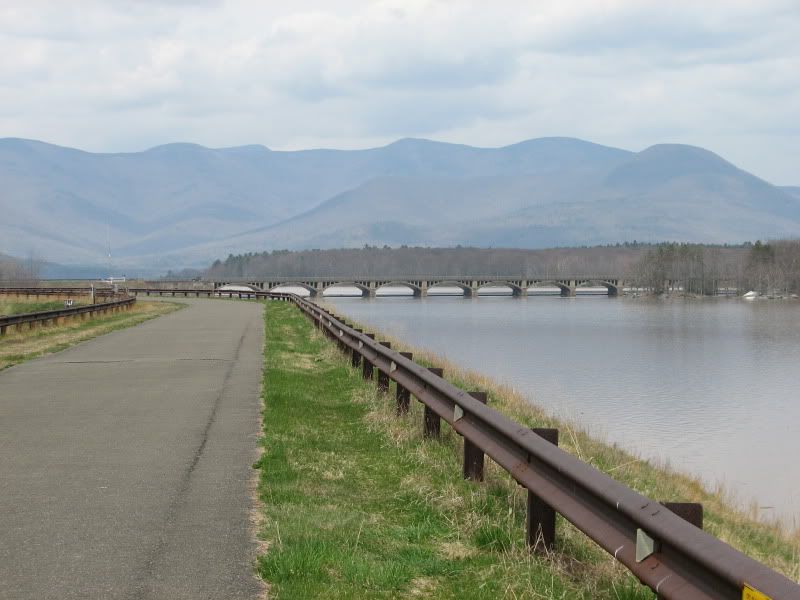
On the trail, looking at the high peaks and the bridge between the upper and lower basins.
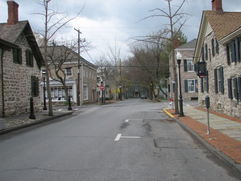
Back in Kingston, almost home. Kingston was the first capital of New York. It was burned by the British in 1777. The capital then moved a few miles down the road to Hurley, NY, and then eventually north to Albany. This is the only intersection in the United States with 18th century stone houses on all four corners, therefore officially named the "Oldest Street Corner in America"
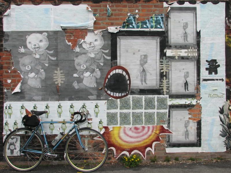
And some street art.