Thanks for the entertaining account, Bau. Since I was mentioned a couple of times, I'm going to butt into your adventure a little bit. I don't mean to steal your thunder, I just want to whet your excitement for another trip.
I've pedaled the whole thing aside from the few miles into Jersey Shore and a short stretch between Cedar Run and Slate Run. In 2009 I rode the middle section and upper. In 2010 I just did a stretch in the canyon itself.
No offense to Jersey Shore, but the reason I've started at the north end is that Wellsboro is a bigger and neater town (the main street is light by gas lamps), Pag-Omar Farmer's Market at the trail's end has great food, the grade from the north end is a slight downhill, and because if you have a car or Mr. Beanz's legs you can ride up to the west rim of the canyon. (The road up to the west rim is a mile west on Rt. 6 from the trail.) Also, I admit I have a prejudice towards Jersey Shore, since I voted it "Most Boring Town in PA" when I lived in nearby Lock Haven. But that was 20 years ago.....
You guys liked Pettecote Junction Campground better than I did. I thought it was a little grubby. And the boaters do keep late nights. But it's on the trail, and the store in Cedar Run has great ice cream.
The free hiker/biker/boaters sites along the trail are nice, but the composting toilets leave a lot to be desired. The trail campsites are run by the State Forest department, and you should get a permit beforehand.
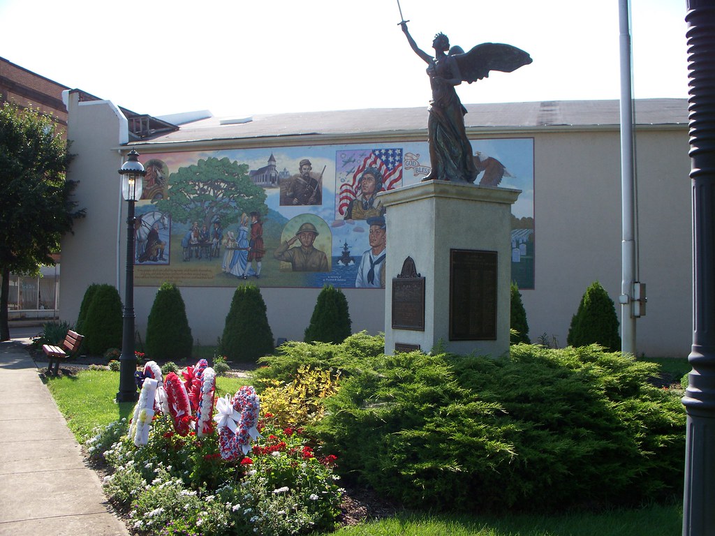
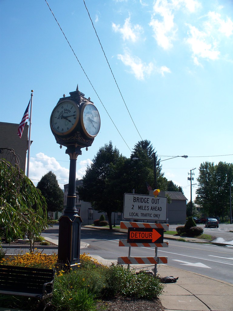
Downtown Jersey Shore:
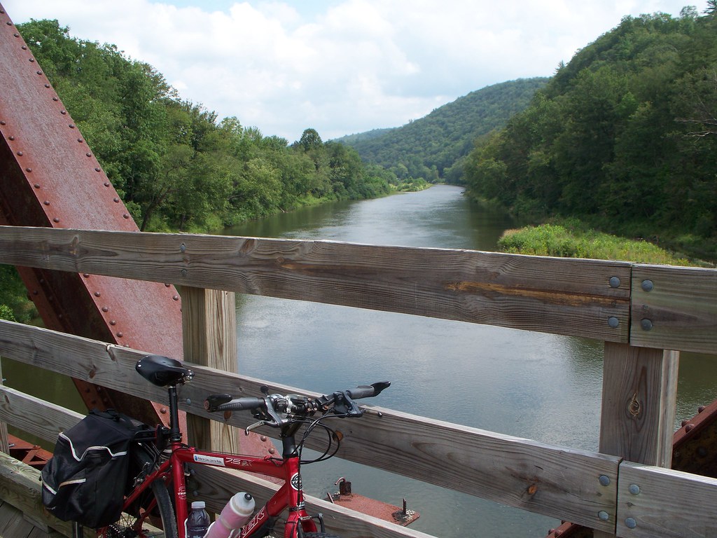
One of the trail bridges near Waterville. The trail crosses Pine Creek four times on these railroad bridges:

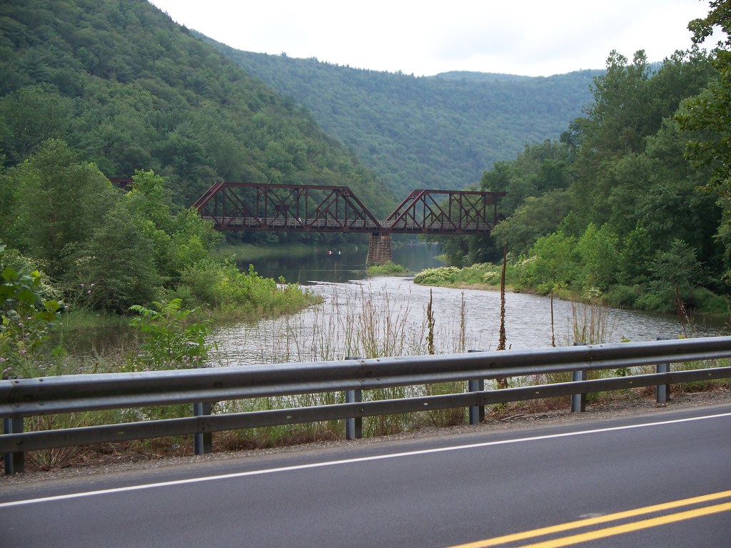
PA Bike Route G, running north to south, uses the Pine Creek Rail Trail from Wellsboro Junction to Waterville. At Waterville the bike route switches to PA Rt 44. In 2009 I continued with the trail south, but then switched to the road on the way back to my car. The road has a limited shoulder and some rollers, but it gives a change of scenery and one spectacular view. I know; a year after I grabbed this shot a better photographer visited the same location and his work was on the cover of
Pennsylvania Magazine.

Cell phone service is spotty in the gorge. You got a signal at Rattlesnake Rock (named because of the, well, fondness rattlers have for it), I got one at the bridge just past it. And just past that bridge is the entrance to the canyon - the 17 mile stretch between Blackwell and Ansonia. Gillespie Point, the "Matterhorn of Pennsylvania" stands at Blackwell as guard to the canyon entrance.
