I'd like to share that 20 days ago, I filled an online form to the "Transports Qu�bec" ministry asking them about the sh***y road conditions on the only bikable link between my home and workplace. There was two questions: is the shoulder supposed to be plowed and when is it planned to do something about this shame road?
While it took them 20 days to reply, the official was nice and told me about a webtool they have to plan bike trips. It's the "bike friendliness" map. I think that while looking at the map, she realized how bad the commuter's situation was on this portion. Here is an image of what it shows:
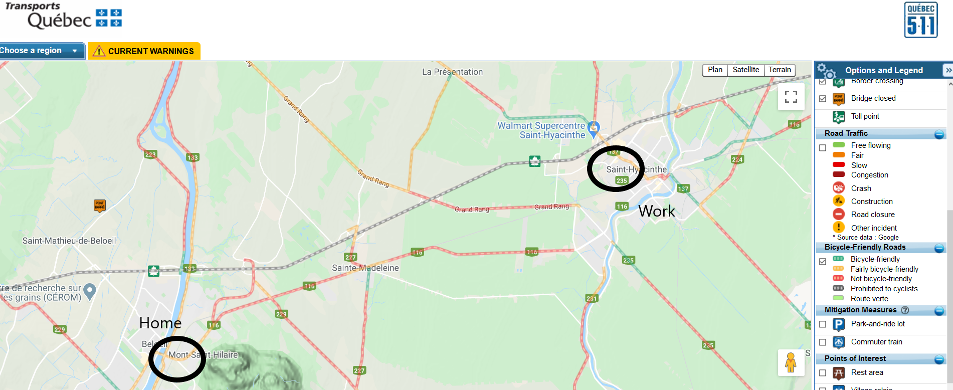 My commuting road situation
I'd like to know:
How is your local pathways bike friendliness ?