Hi, maybe I'm missing something obvious, but how the heck do I find the distances for different sections of Eurovelo routes?
For example, here's the map for EV 11 in Estonia, but how long is it?
https://en.eurovelo.com/ev11/estonia
Thanks!
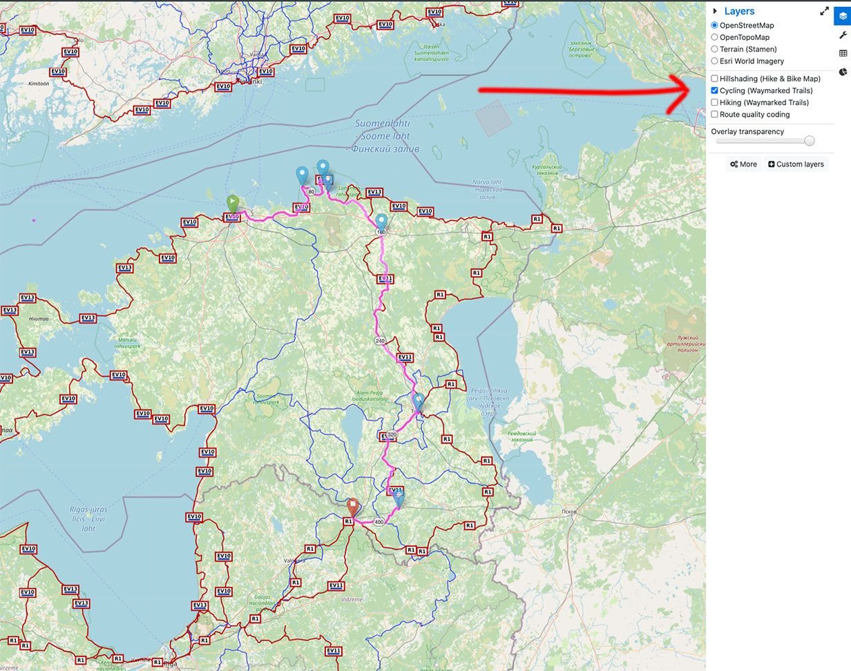
I typically use bRouter, offline, when underway, to generate routes. There is an online version where you can play with the itinerary and get (usually) great routing advice. See
here for (roughly) Eurovelo in Estonia (422kms). Note that the link appears to break the web app. Reload if you want to test route alternatives.
Top right you can display additional layers, including cycling routes. You'll clearly see the EV network
gMaps doesn't support bike routes for this region, but offers reasonable approximations if you are patient enough to specify several waypoints.