Man, it's good to see you out on the bike again @
scozim.
Happy Birthday @
nlerner!
I've been riding nearly every day but haven't been taking pictures because, well, most of the time it's just the same old routes.
Been wanting for a change of venue.
I got a bit of that locally this week thanks to the beautiful stretch of weather we've had.
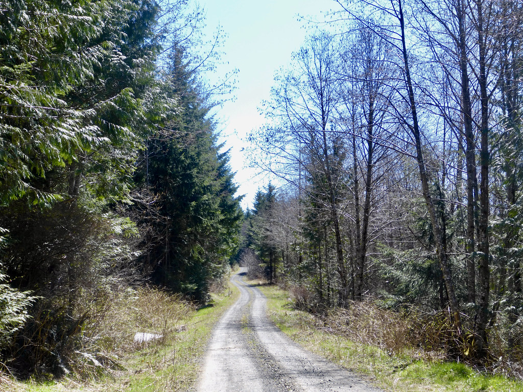
On Tuesday I found myself riding new gravel roads over to Hobart as a part of a loop from my home in North Bend.
 Hobart Loop 1
 by
Matthew Pendergast, on Flickr
The best part was riding those new logging roads for hours without seeing another person although I did have a bear for company at one point.
 Rattlesnake Mtn Rd
 by
Matthew Pendergast, on Flickr
This area feels very remote in spite of the evidence of logging activity everywhere around, none of it appeared recent.
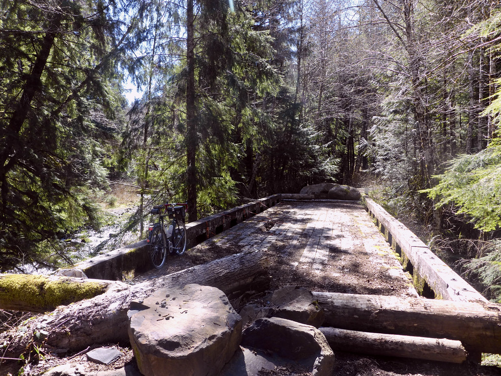 The bridge over the Raging River
 by
Matthew Pendergast, on Flickr
The climbs were at times nasty steep on loose gravel and I walked some of the pitches - probably a cumulative distance of a mile but I didn't mind it at all. It was part of the adventure.
About 4 miles from Hobart I came to an access gate that marked the end to the isolation and turned onto a numbered street that eventually turn into pavement.
 More gravel goodness
 by
Matthew Pendergast, on Flickr
On the way to Issaquah I took the Tiger Mountain Road for a bit more climbing and a respite from the afternoon traffic on the main road into town.
While riding this road I passed by the yellow access gate to the logging roads on Tiger Mountain and that gave me an idea to come back another time to find the road to Poo Poo Point.
Poo Poo Point is popular view point above Issaquah that is used as a launch site by Paraglider's these days.
I had gotten a late start and now I was pressed for time to get home by supper. It would have to wait for another time.
I got to that opportunity yesterday when I drove out to Maple Valley and rode out to Tiger Mountain starting from the Cedar River Trail.
 Poo Poo Point 1
 by
Matthew Pendergast, on Flickr
Riding back up Tiger Mountain Road, I crossed the access gate and began the strenuous climb up the logging roads.
 Poo Poo Point 5
 by
Matthew Pendergast, on Flickr
As like the other day, some pitches were too steep and loose to pedal so I walked. Eventually, I passed through a clear cut and was rewarded with some amazing views that just got better the higher I climbed.
 Poo Poo Point 6
 by
Matthew Pendergast, on Flickr
Passing through a band of trees, the road ends and I am on Poo Poo Point, looking down at Issaquah.
 Poo Poo Point 8
 by
Matthew Pendergast, on Flickr
I had a nice picnic lunch then rode back to the car. Going down was tricky. It was hard to keep my eyes on the road and my speed in check with all the visual distractions.
 Poo Poo Point 10
 by
Matthew Pendergast, on Flickr