


Resupplying water in Death Valley and Mojave NP.
 08-09-19, 02:48 PM
#1
Word.
Thread Starter
Join Date: Jul 2008
Location: Rural New England
Posts: 232
Bikes: Surly Disc Trucker, Orbea Oiz XCountry Bike, Specialized Roubaix, Borealis Echo Fat Bike for Winter, many others out in the barn.
Mentioned: 0 Post(s)
Tagged: 0 Thread(s)
Quoted: 64 Post(s)
Liked 99 Times
in
51 Posts
Resupplying water in Death Valley and Mojave NP.
Hi all.
I'm planning another tour through the desert southwest. A few years ago on a ride from SF to the north rim of the grand canyon, I rode east out of Lone Pine, CA, to Panamint Springs - Stovepipe Wells, Furnace Creek, DV Junction and on to Las Vegas.
I liked it so much that this year I'm going to start in Vegas and backtrack to Furnace Creek, but then I want to head south, either toward Ballarat via Stovepipe and on to Trona, or down the Badwater basin, through Ashford Junction to Shoshone, then down to Baker, CA and into the Mojave (then I'm heading east to Prescott, AZ and ultimately up to the Grand Canyon).
So my specific questions today are:
I'd appreciate the help of anyone familiar with that area.
Thanks.
I'm planning another tour through the desert southwest. A few years ago on a ride from SF to the north rim of the grand canyon, I rode east out of Lone Pine, CA, to Panamint Springs - Stovepipe Wells, Furnace Creek, DV Junction and on to Las Vegas.
I liked it so much that this year I'm going to start in Vegas and backtrack to Furnace Creek, but then I want to head south, either toward Ballarat via Stovepipe and on to Trona, or down the Badwater basin, through Ashford Junction to Shoshone, then down to Baker, CA and into the Mojave (then I'm heading east to Prescott, AZ and ultimately up to the Grand Canyon).
So my specific questions today are:
- Is there drinking water in Ballarat?
- Is there any place to refill water between Furnace Creek and Shoshone via Badwater Road and Ashford, Jct.?
- Also, where can I fill up inside the Mojave National Preserve?
I'd appreciate the help of anyone familiar with that area.
Thanks.
 08-10-19, 04:03 AM
#2
velo-dilettante
Join Date: Apr 2009
Location: insane diego, california
Posts: 8,311
Bikes: 85 pinarello treviso steel, 88 nishiki olympic steel. 95 look kg 131 carbon, 11 trek madone 5.2 carbon
Mentioned: 26 Post(s)
Tagged: 0 Thread(s)
Quoted: 1626 Post(s)
Liked 3,112 Times
in
1,682 Posts
in ballarat or the ballarat area-no. at least not that i saw and i was looking last time i drove thru there on trona wildrose/panamint valley rd 3 years ago for a potential cycling trip thru the area.
trona has water/supplies. stovepipe wells in dvnp has water/supplies. drove the stretch on ca hwy 190 from the panamint valley rd intersection to lone pine too long ago to remember specifically
but it's such a desolate area that even if a water source/general store existed at some point, chances are pretty good that it's no longer an option.
between furnace creek and shoshone via badwater rd thru ashford junction-no. again, at least not that i saw and i was looking when i drove thru there 1.5 years ago. jubilee pass is a fun stretch of road tho.
mojave national preserve seems to have even less between baker on the 15 fwy and the barely there hamlets like essex and amboy along the 40 fwy corridor. if memory serves (and it's been over a decade) mitchell caverns state park used to have limited water and even if there still were with their reduced hours after the reopening, it's a decent climb and probably waay out of the way. there have supposedly been improvements at the kelso depot area in the last few years and i've made it close but not quite there semi-recently to check firsthand. may be worth an e-mail or phone call to discern current status there but you'll be safer planning for zero water in the mojave from baker east to the colorado river, especially in september.
ambitious in september with that lower desert heat. november-may, i wouldn't bat an eyelid. even flying into slc and doing the mighty five of capitol reef, bryce, arches, canyonlands and zion
or tucson/phoenix and hitting saguaro np, sedona, gcnp, petrified forest np and canyon de chelly nm during september would be really warm but easier on the bod.
Last edited by diphthong; 08-10-19 at 04:23 AM.
08-10-19, 04:10 PM
#3
Partially Sane.
Join Date: Jan 2016
Location: Sunny Sacramento.
Posts: 3,559
Bikes: Soma Saga, pre-disc
Mentioned: 22 Post(s)
Tagged: 0 Thread(s)
Quoted: 972 Post(s)
Likes: 0
Liked 643 Times
in
468 Posts
I'll second that motion, we need a water map for bicyclists. 👍😁👍 I don't really know this area, just been goofing around the lower Mohave Valley awhile. Enough to know you have to watch your water level. 😉 Good luck on finding a route, OP.
08-10-19, 09:04 PM
#4
Word.
Thread Starter
Join Date: Jul 2008
Location: Rural New England
Posts: 232
Bikes: Surly Disc Trucker, Orbea Oiz XCountry Bike, Specialized Roubaix, Borealis Echo Fat Bike for Winter, many others out in the barn.
Mentioned: 0 Post(s)
Tagged: 0 Thread(s)
Quoted: 64 Post(s)
Liked 99 Times
in
51 Posts
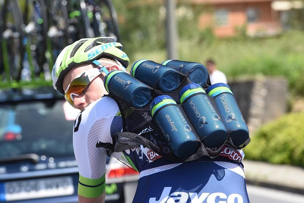
It's going to be fun. I guess I'll just have to make sure I can carry 4 or 5 gallons of water as a two day supply.
I'll report my finding when I'm done in October.
I'll report my finding when I'm done in October.
08-12-19, 02:36 PM
#5
- Soli Deo Gloria -
Join Date: Aug 2015
Location: Northwest Georgia
Posts: 14,779
Bikes: 2018 Rodriguez Custom Fixed Gear, 2017 Niner RLT 9 RDO, 2015 Bianchi Pista, 2002 Fuji Robaix
Mentioned: 235 Post(s)
Tagged: 0 Thread(s)
Quoted: 6844 Post(s)
Liked 736 Times
in
469 Posts
Saw this in another thread....
Likes For TimothyH:


