I do not look at elevation totals at all.
If possible, I look at elevation profiles so I can see what the bigger hills look like. And even the small ones can be worse if steep, if possible I like to see what the percent grades are.
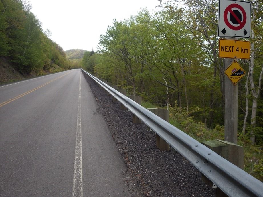
Example in the photo below, I knew when I was planning this trip while still at home that this hill was one that I was going to walk my bike up it. At 13 percent for a tall hill, no way was I going to try to pedal it. While still at home I knew that this was my worst hill on this five week trip.
Sometimes I have plotted a route on Mapsource, that is a discontinued Garmin mapping program (no longer supported) that runs on Windows based computers (I do not know if it runs on Apple or not.). If I use an open streets topo base map I will get different numbers for peak elevations for the hills and low spots on the valleys than if I use the Garmin USA Topo (1:250,000) base maps. And if I use the USGS 1:24,000 topo map I get no data on the profile because the topo data is not electronic in those base maps.
My point is that in this case, just using different base maps in the same software will give you different data. I might look at height of individual hills, but I do not look for totals.