I guess I missed this thread.
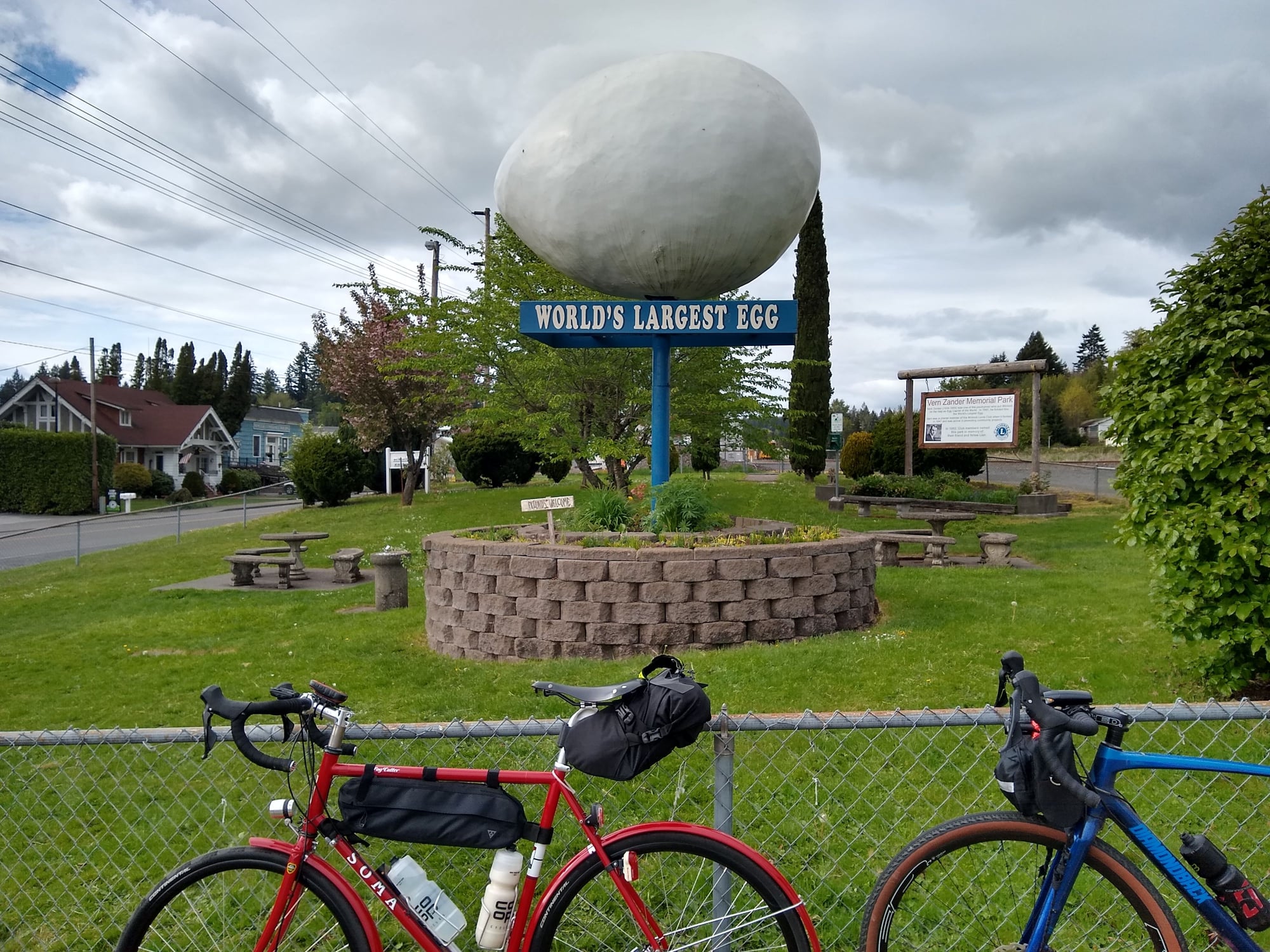
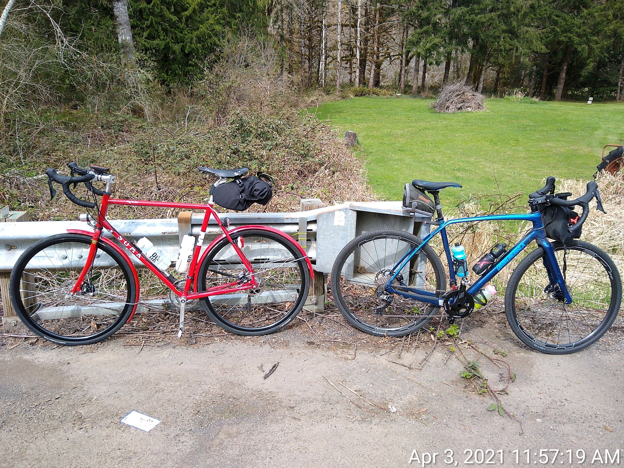
I've been keeping my re-started R-12 going by riding the same perm, one that I can do with minimal stops. It's getting old, and I was happy to ride the Oregon Randonneurs Birkie 200k on April 3rd. I've talked a 20-something buddy Cesar into giving Rando a try, in exchange for me doing a couple cx races with him in 2019. The start was different with COVID; no pre-ride instructions, no mass rolling start, leave when you want after 6:00am and the RBA noted your time. Cool but not cold, but most importantly for the PNW it was dry, with calm winds as we headed north from Hillsboro. Regardless of the forecast I carried rain gear the distance, because I live in the PNW and this route had some remote bits. The first 21 miles rose 1100 ft, then lost about 600 ft until the turnaround at 66 miles. From there on the return it's almost the opposite, not rising quite so high and a bit more gradually. We stopped outbound at Vernonia for 2nd breakfast, at 35 miles. Aside from water, there would be no services until we got back to Vernonia at mile 95. The north end was an out-and-back on a mostly vacant two-lane, with typical Oregon beautiful wooded scenery. This route had three controls - start, turnaround, finish. The turnaround was an info control - count the number of zip-ties on the sign, IIRC. The return leg used the Banks-Vernonia trail, which nicely avoided traffic pressure and got us within 9 miles of the finish. The downside of the trail is the many pavement ruptures from tree roots. Southbound on the B-V trail it rises slowly at railroad grade, up to just under 1000 ft, then falls a little more sharply losing 300 feet in six miles. The downhill grade, narrow trail, ruptured pavement, and occasional bike/ped traffic made those six miles quick but a little stressful. 129 miles, 3300 feet, 8:55.
May 1st, Cesar joined me again for the SIR Spring 300k out of Olympia, WA. We camped overnight at a state park about 15 minutes from the start, driving up from Portland on Friday night. Again cool but again dry, the latter an unexpected bonus this time of year. SIR did the start a little differently. You show up, get your card, then leave when you want, recording your departure time. Cesar was a bit late, so I chilled out at Starbucks by the start while he got ready. It felt odd, calmly drinking coffee and enjoying a scone as the start time came and went. We eventually rolled out at 6:20. I carried rain gear the whole way, needlessly it turned out. A beautiful ride featuring quiet forest roads through the Capital State Forest, a figure-eight shape intersecting at Centralia. The route put us on the Yelm-Tenino trail at mile 170, well before dark, and we were on trails to the finish. That meant no night riding on the road, which was a stress reliever. Somewhere around mile 190, just 3 miles from the finish, the GPS track directed us to leave the trail and go back to the road. From there we went under an underpass, then took a side trail back toward the main trail. Only problem was, the side trail was blocked with huge piles of gravel. Determined, we hike-a-biked around first one, then two, then three piles of gravel. Finally I climbed a pile and shined my light ahead, to see piles of gravel as far as my light could shine. Defeated, we retreated back to the road. After consulting maps, considering options, debating just taking the road, we returned to where the left the main trail and carried on. There was, it turned out, no reason to leave the trail. At the finish, an SIR volunteer awaited with cold pizza and drinks. When we mentioned our detour, he said some people reported that problem and others did not. He'd ridden the pre-ride himself, and had no such issue. My guess is, it depended on what routing software people used. 193 miles, 5800 ft, 13:15.