Been there, done that!
Well, I made it out to Lake Mineral Wells Trailway today. I started at the Weatherford end, rode to the Mineral Wells end, and back. Total distance- 40 miles, total time, about 3:50.
The trail is graveled with fine gravel for most of its length. The last couple of miles in Mineral Wells are paved, but the paving there isn't that much better than gravel. There are ups and downs. They're gradual but long. There were places where i could coast along at 15-16 mph for a half mile or more (had a tailwind part of the way, too), but then coming back up those places, I was cranking along at 11 and 12 mph. But it was all doable.
Why to ride this trail: Because it's there. Ride it just to ride it, not to get from point A to point B. I've hiked a lot of hiking trails. You can hike faster on a road, but it's not as much fun. That's the way this is. If you just want to get 40 miles in, go some other way. If you just want to get from point A to point B the most expeditious way, this is probably not it. But if you want to get out and see a trail that you're never going to see any other way, just do it. I had great fun and enjoyed the outing.
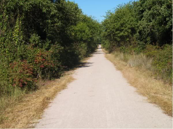
This is near the start of the trail.
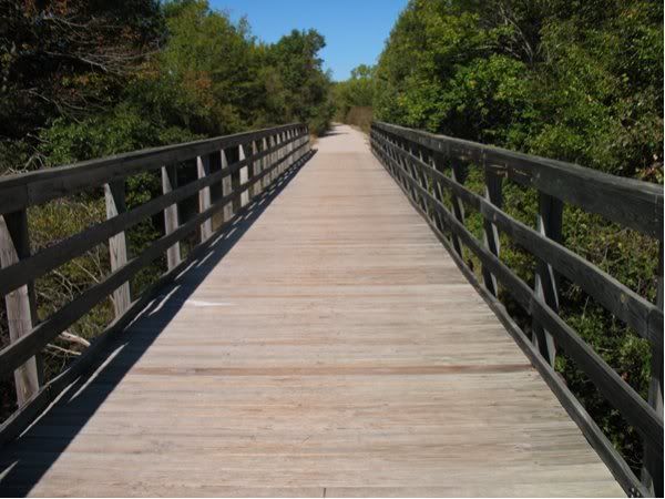
One of the first bridges I came to. Not obvious, but the bridges are the old railroad bridges with modern decking and railings on them. This was Dry Creek, which had water in it.
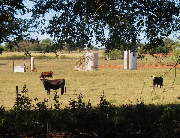
Pure Texas- cows and oil wells.
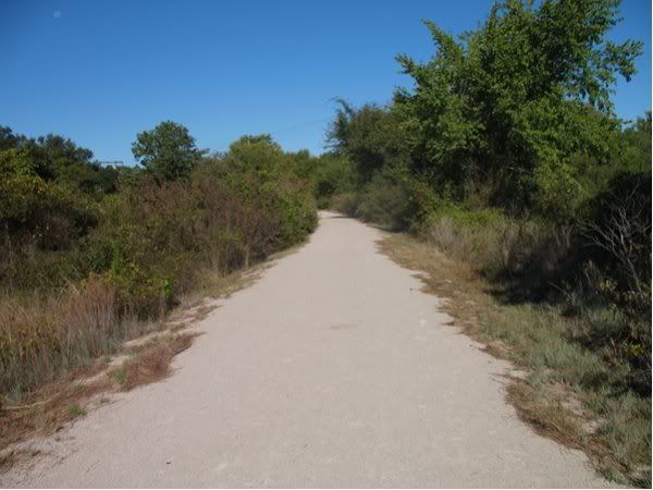
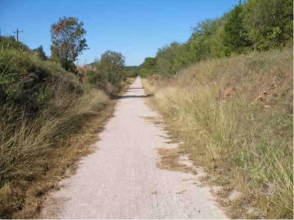
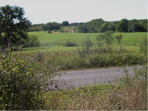
Continuing down the trail.
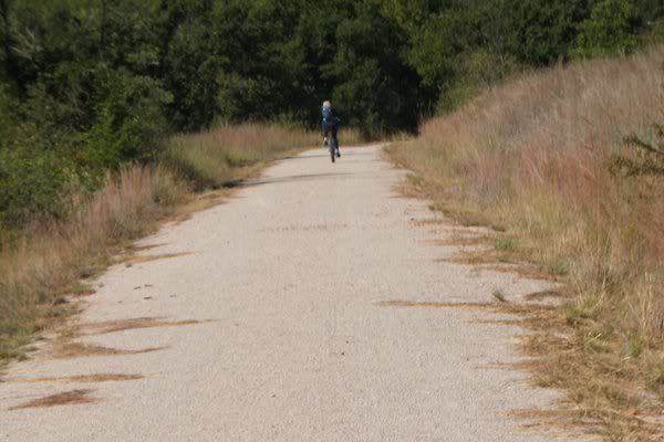
I caught up with this lady on a long downhill, where I was mostly coasting, and she was pedaling. There are times when gravity and flab work in your favor. Not often, but sometimes.
Being an old railroad grade, there are places where cuts and fills were made to keep the line more level.
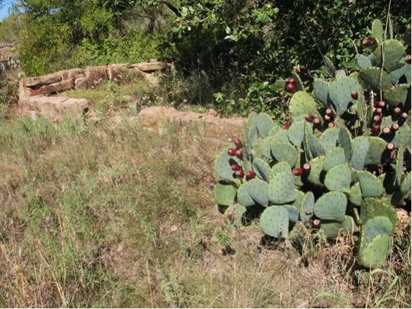
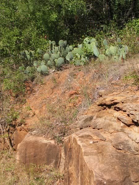
The farther west you go, the more prickly pears you see. I like prickly pears.
Part of the way, you parallel a road. If you're going to ride on the roads part of the time, you need a good map with you, because the road names aren't marked at the trail crossings. To stay on the trail, you don't need any map, it's obvious.
More prickly pears. Some of them had fruit, some didn't.
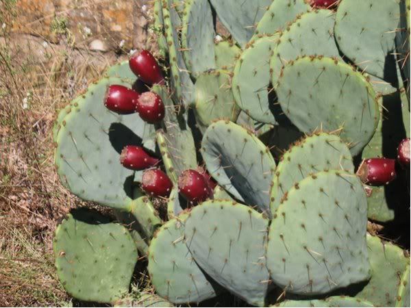
These particular cacti were by an old building foundation. I would guess some kind of building associated with the railroad, as it was not over 30 feet from the line.