That road, OH-13, is also US-250, and it looks like the most direct route for vehicles to go south or southeast. Just that much information would get me to find alternate roads. I can see how mountain areas funnel all the traffic on just a few roads, and there's very limited alternate roads to choose. But in the midwest, it's more of a grid and some roads will be way better than this highway.
I looked up the route in ridewithgps.com, with the rider heatmap turned on. This highlights popular cycling roads, and shows US-250 is rarely or never ridden. I think the rwgps heatmap option requires a paid subscription?
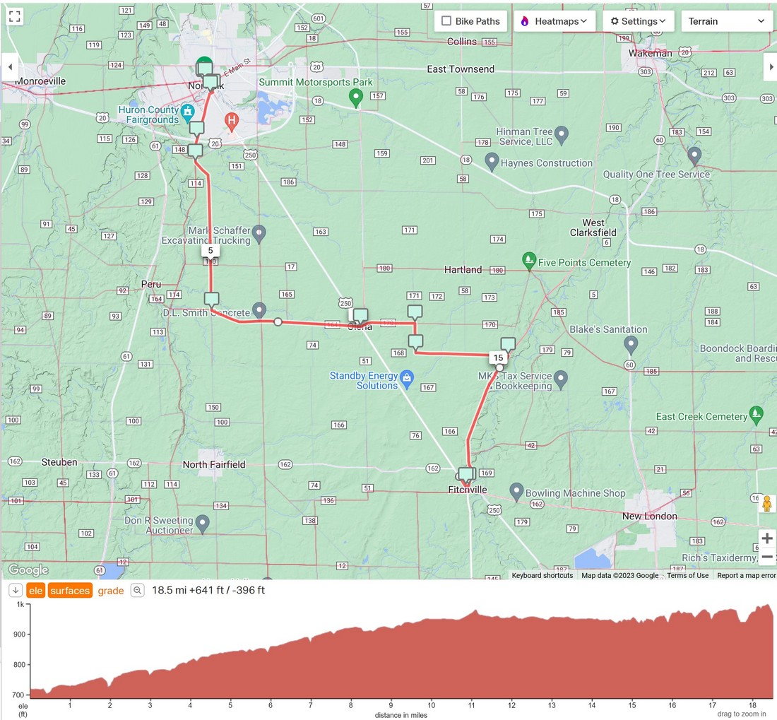
Clicking the endpoints, it proposed heading east to Collins, then south on back roads. But the first miles were tagged as gravel, and satellite view shows it is gravel.
This route follows popular roads, and checking the west-east portion, it's paved.
~~~~~~~~~~~~
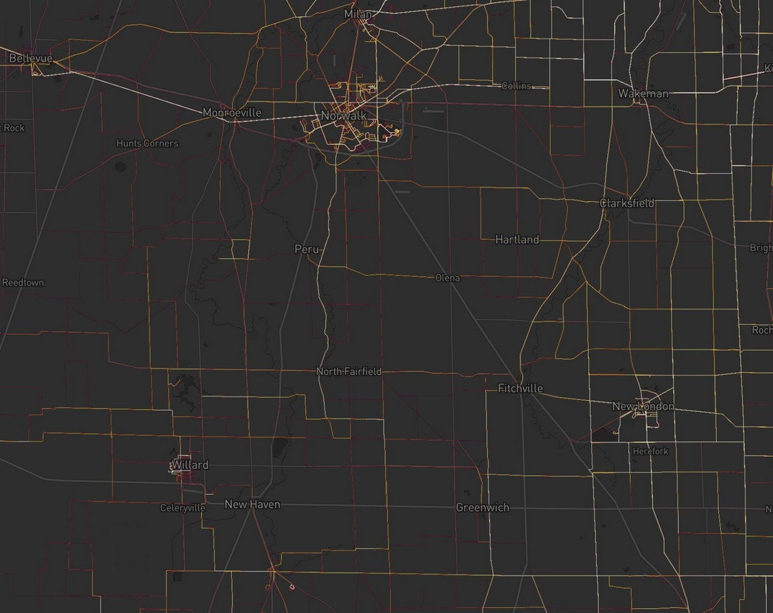
The free version of the
Strava Heat map limits how far it can zoom in. But this free zoom level is good enough to plan this route. gray=no activity, dim red= low activity, white hot=most popular.
I note that the gravel road heading east from Norwalk is popular. Perhaps it's on a popular gravel ride route?
That diagonal road is US-250, and there's no activity on it. I actually look for very low activity roads with other nearby roads that have ride activity -- there's a reason why cyclists are avoiding it.