I didn't see a separate Quabbin thread, seems like it's worth creating one to collect ideas and experiences. Lots of good riding in the area.
A couple weeks ago I got a chance to go out on an exploratory ride I wanted to do for a while, starting at Gate 40 of the Quabbin Res. DCR has a brochure on where one is and isn't allowed to bike around Quabbin,
https://www.mass.gov/doc/quabbin-res...chure/download
My route was to explore the
East Quabbin area: start at Gate 40, head south on Hardwick Road (paved) towards... Hardwick, then right on Sessions/Greenwich towards Gate 43, past the DCR boat ramp and into the unpaved 'wilderness' of East Quabbin and then Dana Center. There are a couple of trails in the
North that I want to explore next. Mind you, no contact with water is allowed, like wading, etc.
From Dana center there are two dead-end roads leading to the shore: south to Pottapaug Pond and northwest to Grave's Landing. Due to time constraints I was only able to explore the south spur this time.
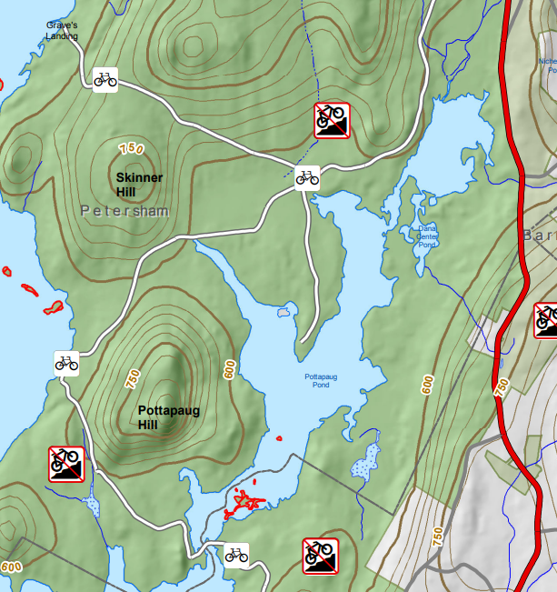
Whitney Hill, north of Dana, is officially closed to biking. That is a shame, because going that way would make for a much longer dirt loop towards Gate 29. I am not advocating for it, but I have seen people I follow on Strava bike through there, and the
Strava heatmap shows a fairly strong cyclist presence between Dana Center, through Whitney and into Soapstone Hill. Next time I'm in the area, I plan to go up Grave's Landing and see what the situation is with "no biking" signs up that way.
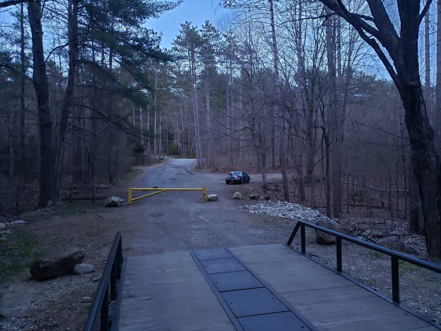
I took this at the end of the ride, but this is what the parking area at Gate 40 looks like
Thought of taking Mellon Road as a shortcut... but then realized that I'd be cutting distance but going pretty slow on that kind of terrain and remained on pavement. Could be a fun 'off-road' shortcut for the future.
Greenwich road down to Gate 43 is an extremely fun downhill. This is ways past the gate, fun road name! Unfortunately, there was a 'no biking' sign on the gate. Gate 43 is access to the fishing area so watch out for trucks pulling boats.
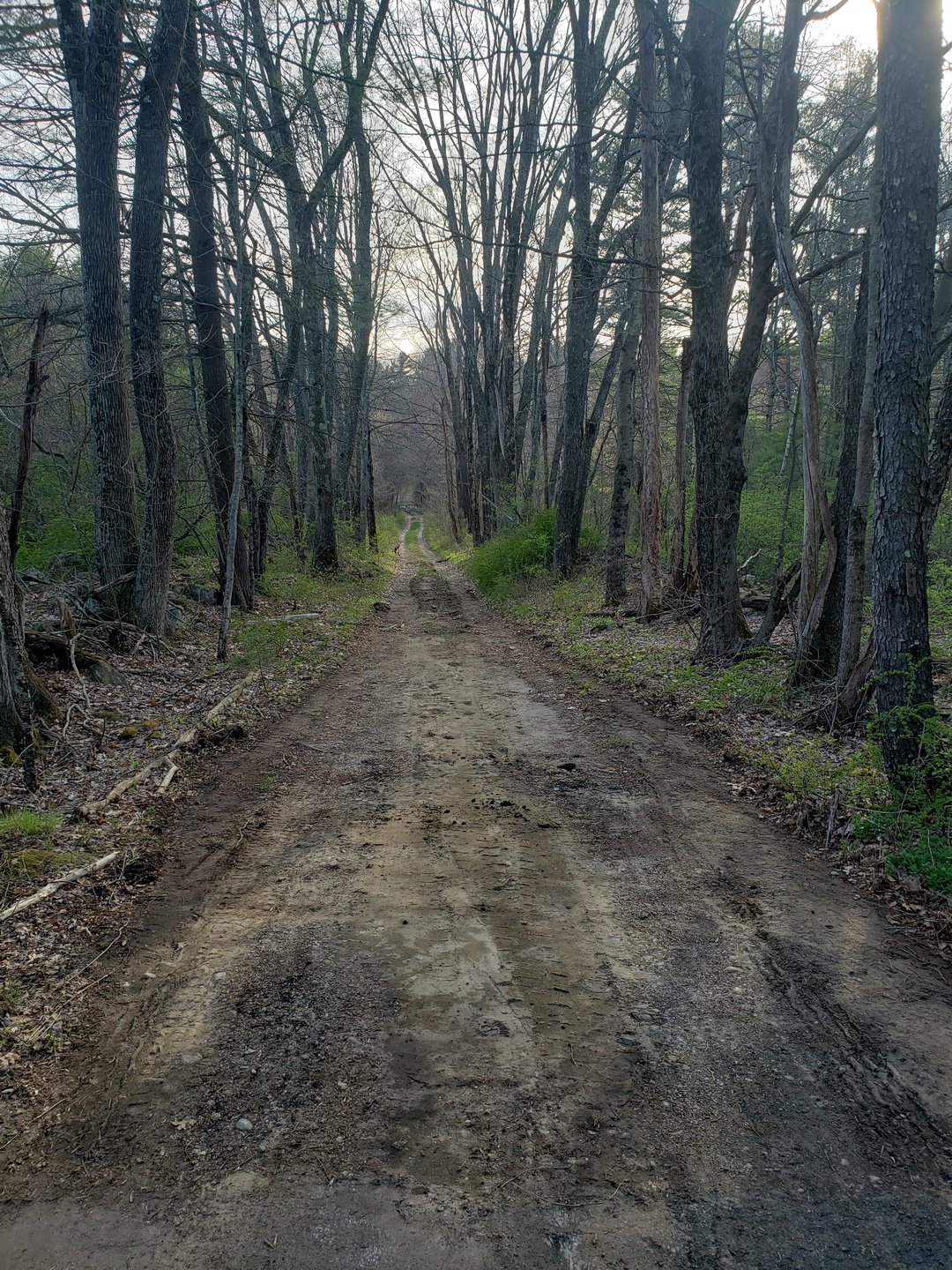
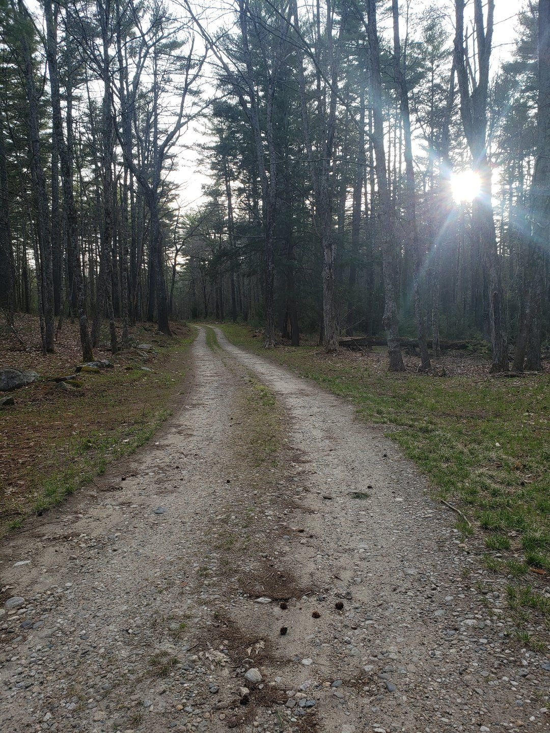
No pictures of the Quabbin fishing area (it's south of Pottapaug Hill where the road crosses the pond), but this picture is right after passing it. All pavement ends and all civilization stays behind.
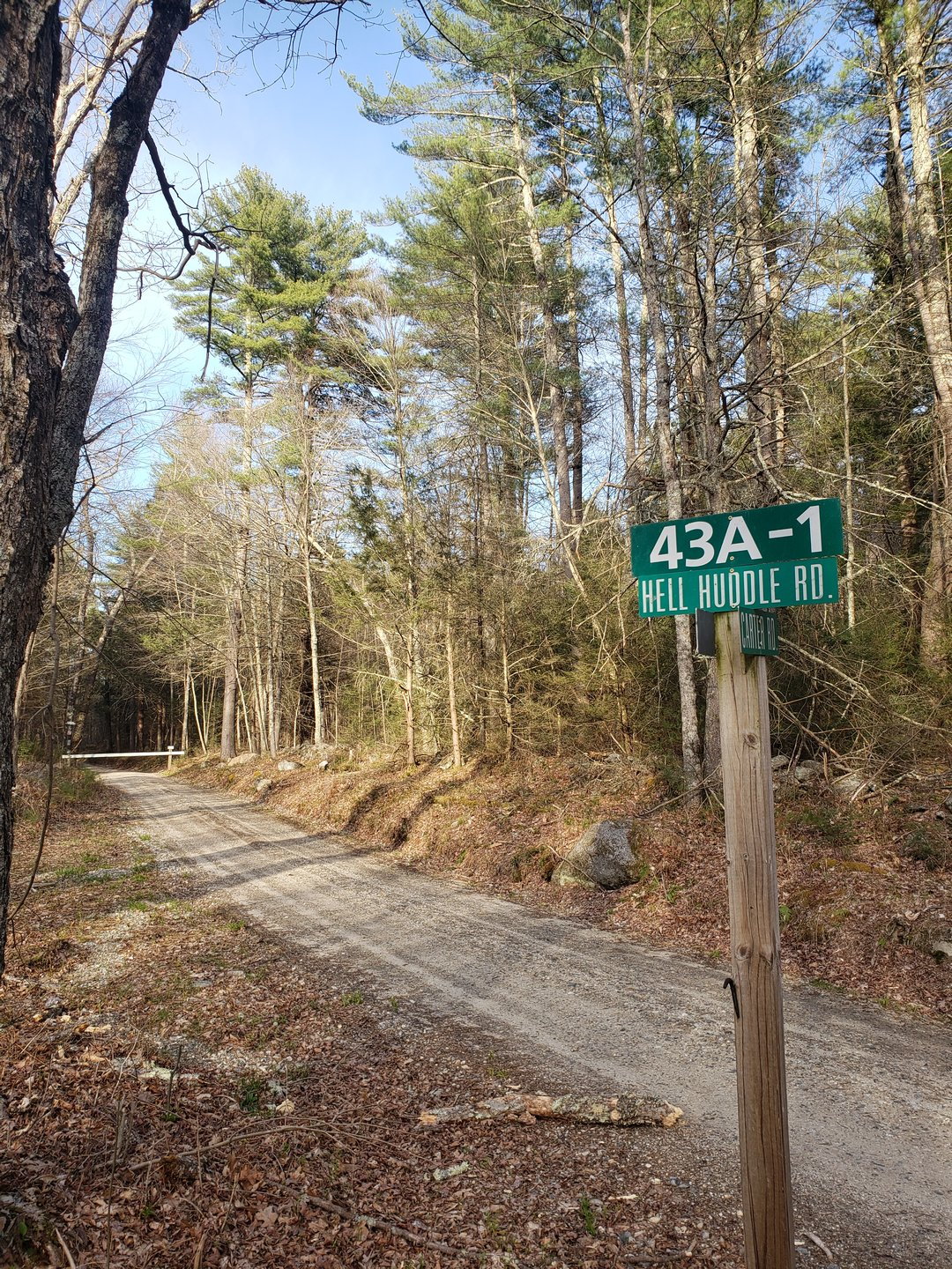
Somewhere nearing Dana. Why no biking!? Looking at the map, going down this road on foot might be worth it,
.
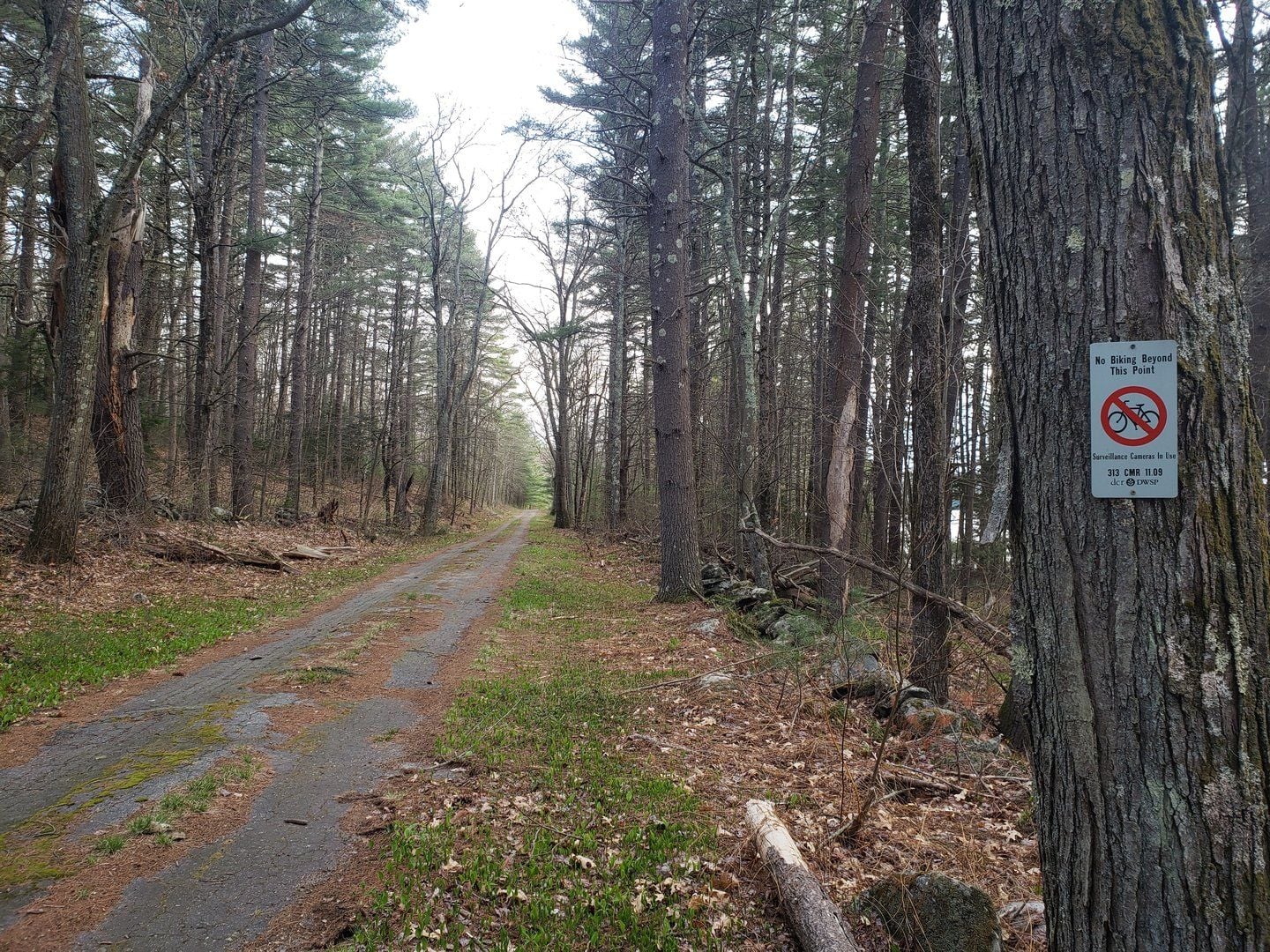
Even closer to Dana
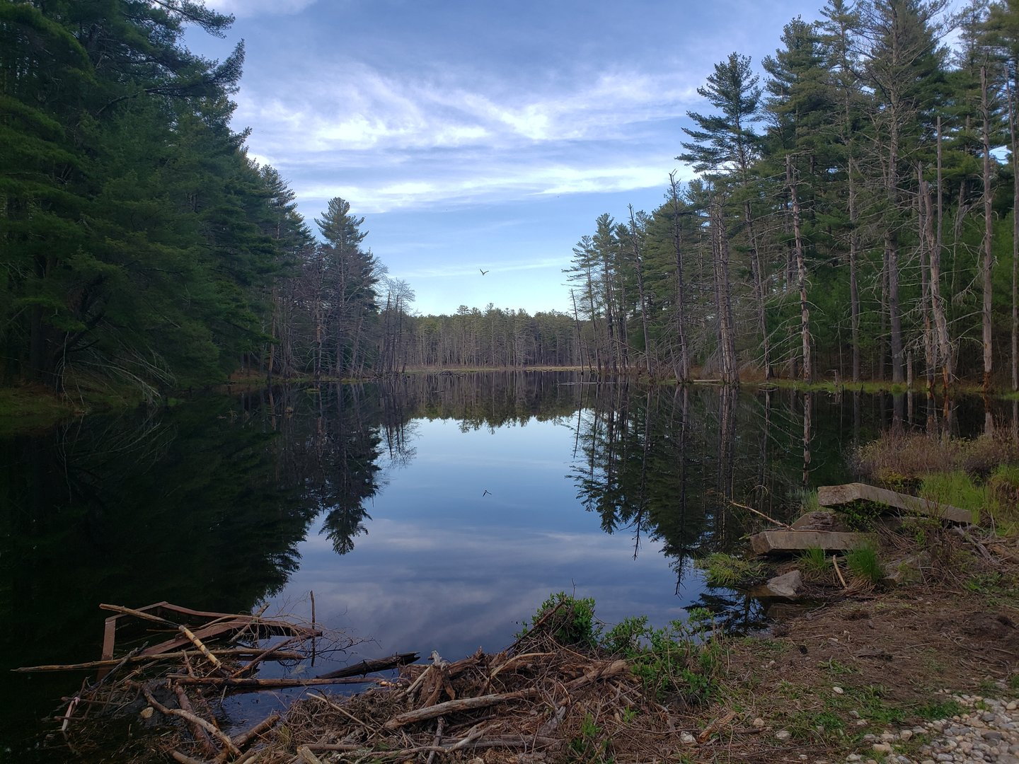
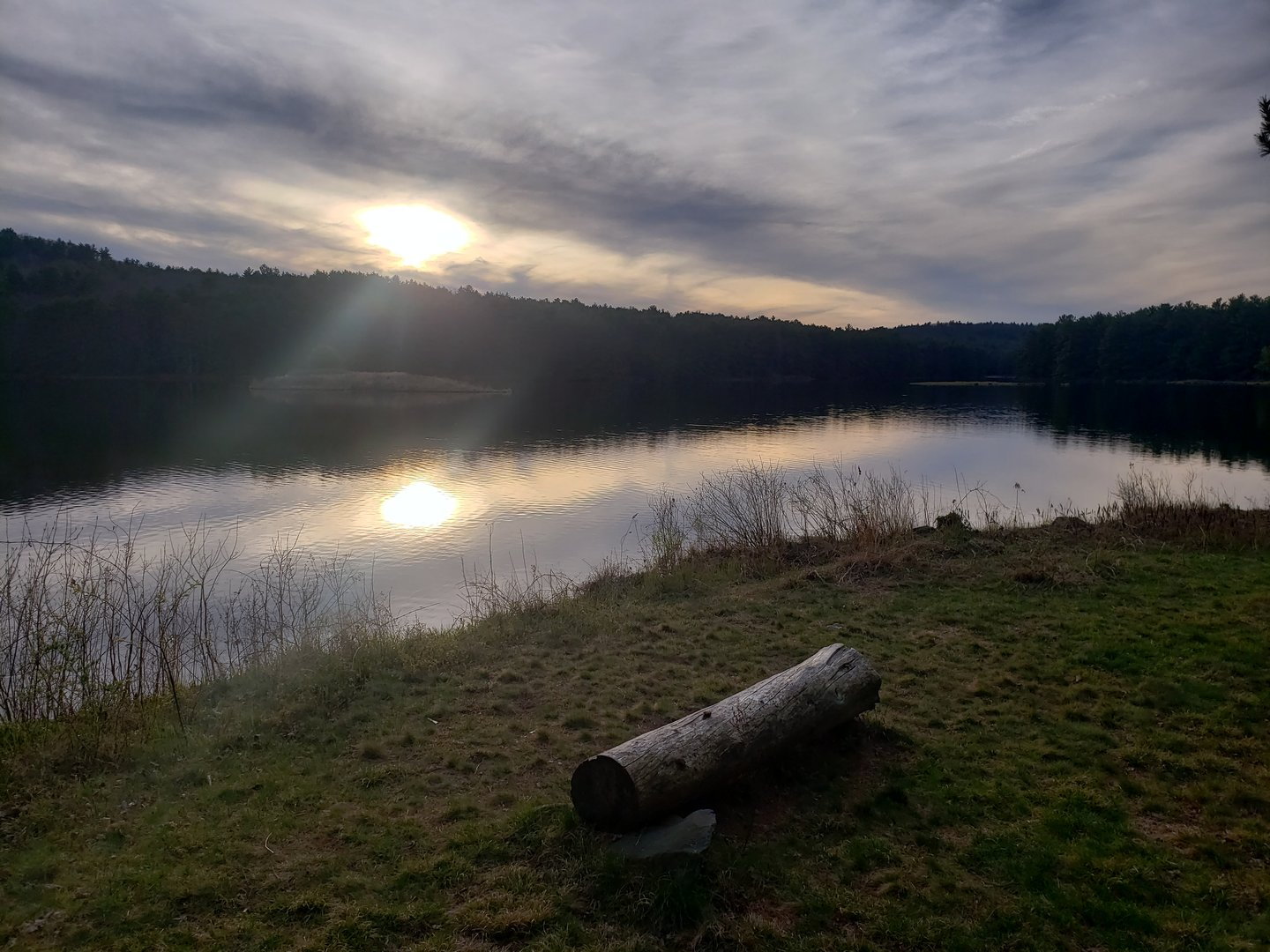
This is the end of the spur south from Dana, Thayer Rd, I believe. Brings you to a super-nice shore area.
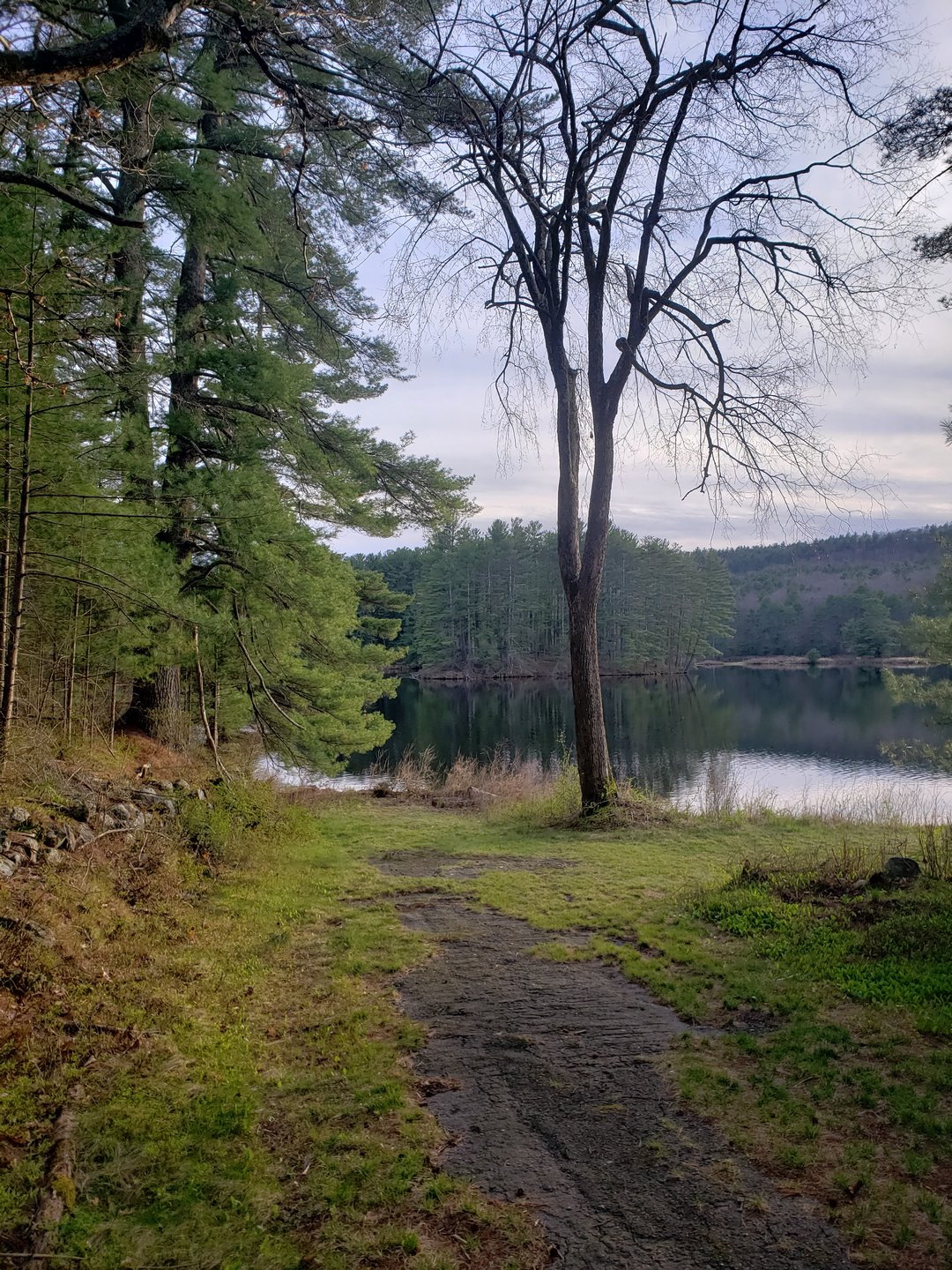
Not a single soul past the fishing area, just wildlife.
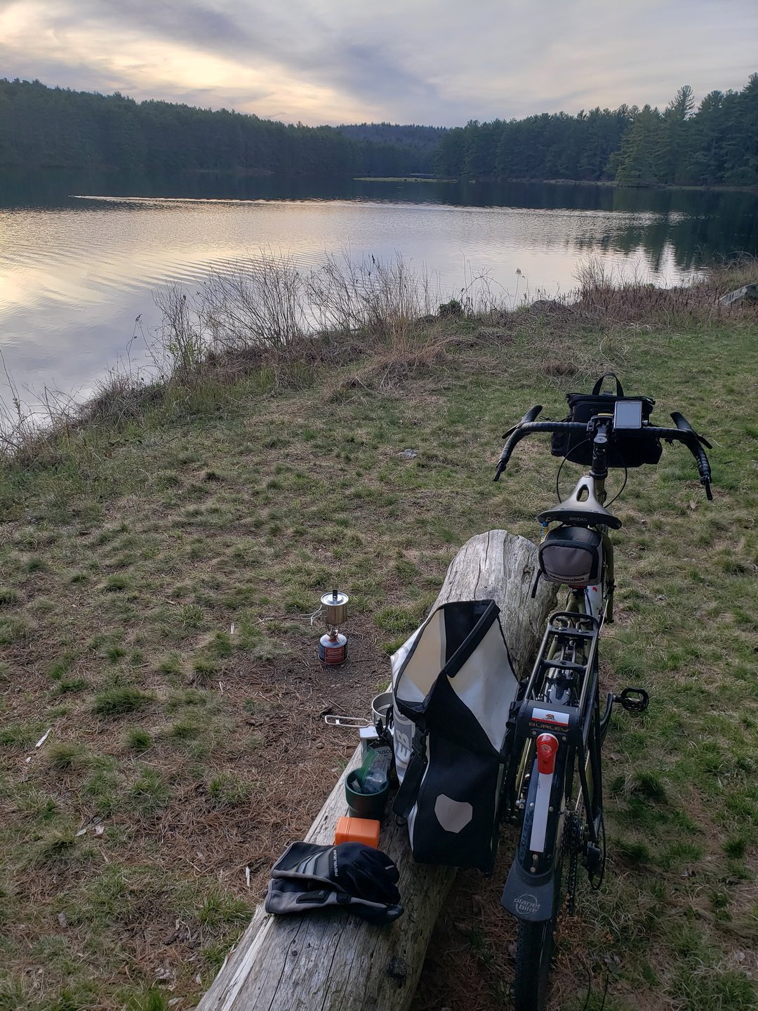
My primary goal was to do some off-road riding away from people but then at the last minute I decided I wanted to test some equipment as well. The plan was to just make tea in the field, but due to time constraints instead of pre-made dinner I bought a box of cous-cous and ended up making an impromptu bikepacking meal. It worked out pretty damn well for me.
I saw: 1 porcupine, 1 owl (think it was a great horned, it was big and flying), 1 deer, multiple turkeys, and a very brave beaver. 17.5 miles overall, not huge mileage, but definitely a lot of value.