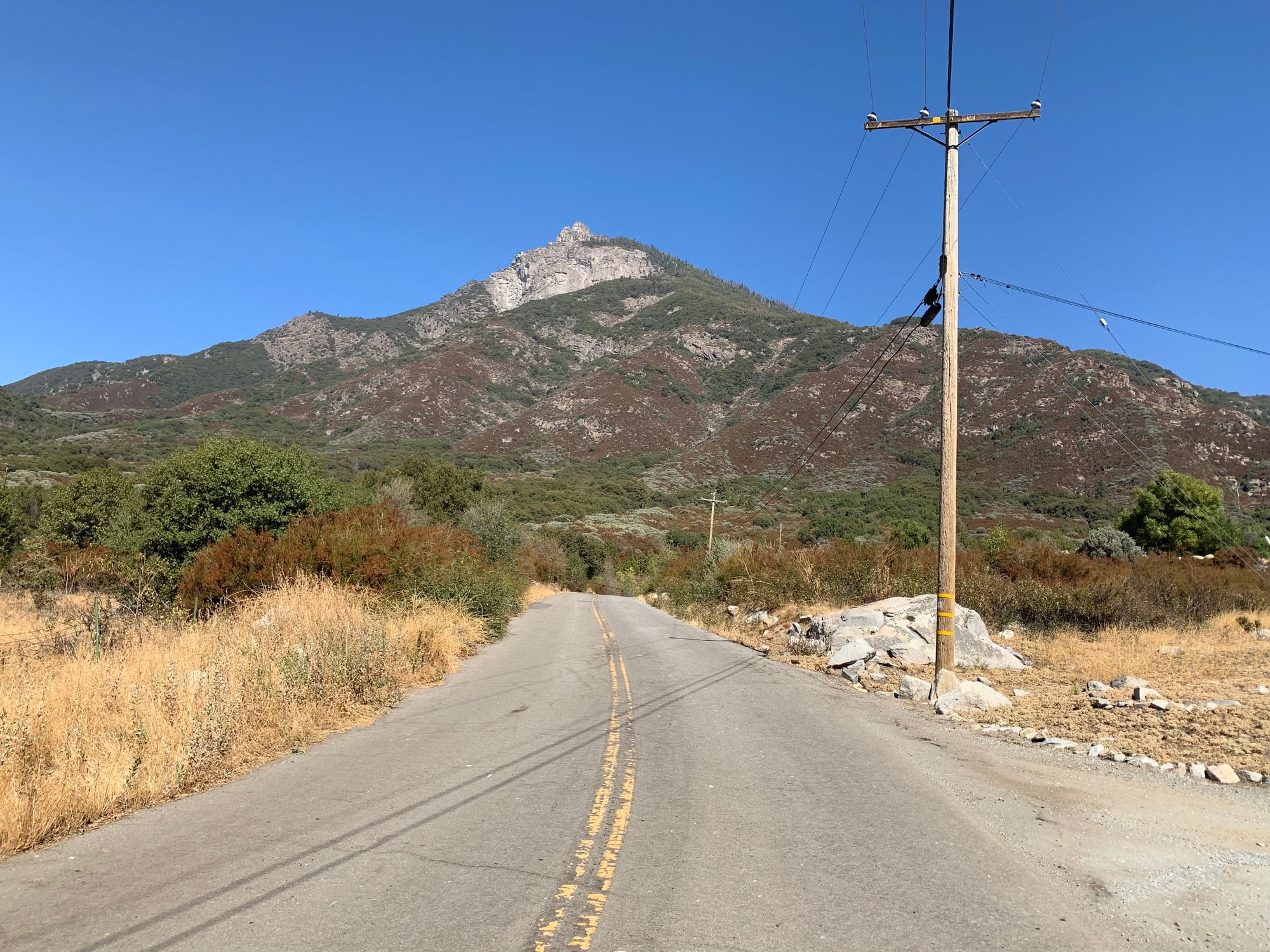
Rode on Blue Ridge, a dead end transmitter site road that is located mostly on National Forest land, and I'm told tops out around 5000 feet. To get to the road I had to do of 12 miles of mostly uphill, only made it 6 miles up the transmitter road proper, a couple miles short. 18 miles of climbing was enough for me, legs started seriously complaining around mile 15. I thought I was in better shape than that, but I have been lacking in long rides lately. 36 mountain miles, and I'm beat. I feel like such a "looser".
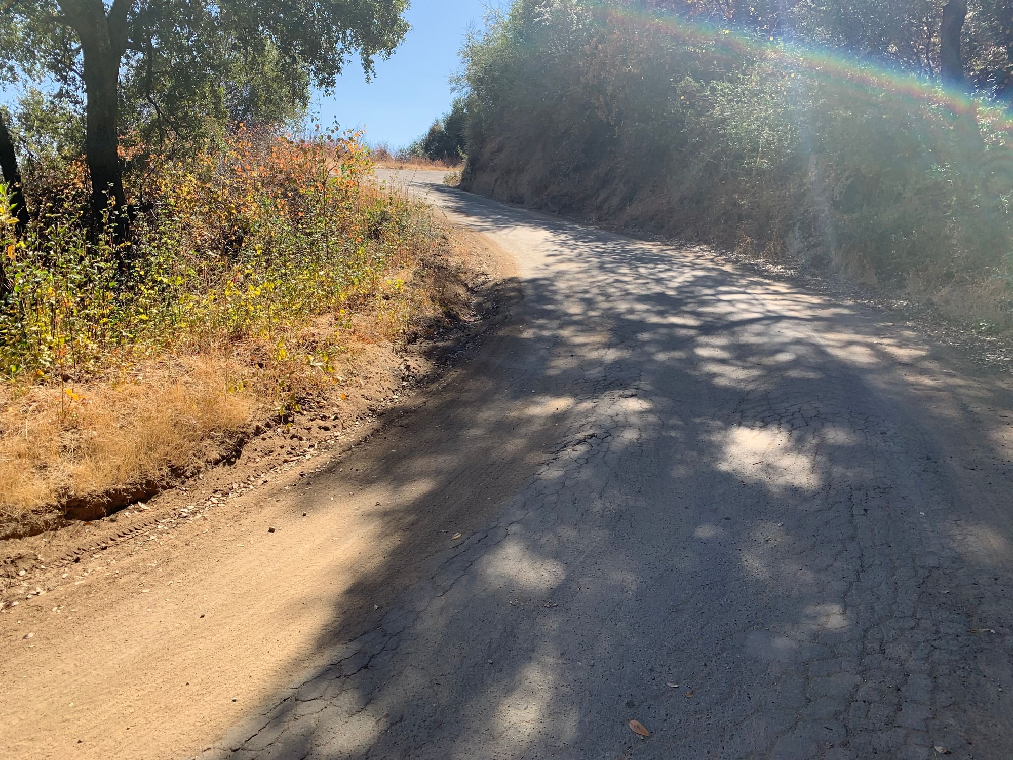
Since I chose the route on a whim, I wasn't sure how far it was to the summit, which was tough mentally on such a steep climb, lots of 12-15% stretches. I will conquer this climb on another day.
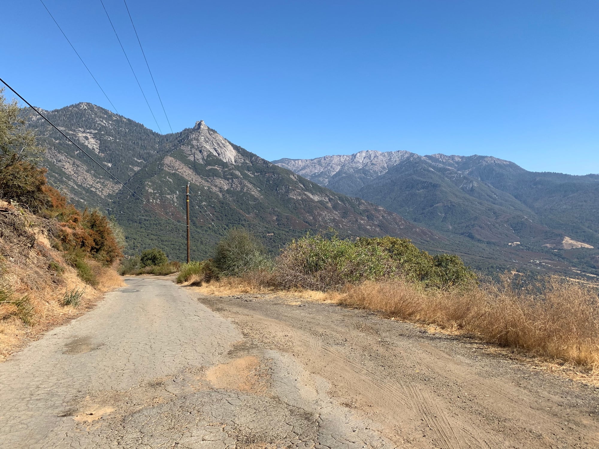
This view is looking south toward Kern County.