


Planning routes on Google Maps
 09-08-21, 08:06 AM
#26
Tragically Ignorant

Join Date: Jun 2018
Location: New England
Posts: 15,613
Bikes: Serotta Atlanta; 1994 Specialized Allez Pro; Giant OCR A1; SOMA Double Cross Disc; 2022 Allez Elite mit der SRAM
Mentioned: 62 Post(s)
Tagged: 0 Thread(s)
Quoted: 8186 Post(s)
Liked 9,098 Times
in
5,054 Posts
Since RWGPS has been mentioned multiple times, Ill add that I am pretty annoyed with how the system categorizes what is paved and unpaved riding.
I use RWGPS to create routes and whenever this feature was added, it was added too soon since it is so very wrong(at least in the 3 metros I have used it).
It labels maybe 20% of gravel roads as 'unpaved'. I personally dont care because I happen to know what is and isnt gravel, but it would really screw someone over if they didnt know ahead of time.

Likes For livedarklions:
09-08-21, 08:15 AM
#27
Senior Member
Join Date: Jun 2015
Location: North Central Wisconsin
Posts: 4,624
Mentioned: 14 Post(s)
Tagged: 0 Thread(s)
Quoted: 2975 Post(s)
Liked 1,182 Times
in
771 Posts
Since RWGPS has been mentioned multiple times, Ill add that I am pretty annoyed with how the system categorizes what is paved and unpaved riding.
I use RWGPS to create routes and whenever this feature was added, it was added too soon since it is so very wrong(at least in the 3 metros I have used it).
It labels maybe 20% of gravel roads as 'unpaved'. I personally dont care because I happen to know what is and isnt gravel, but it would really screw someone over if they didnt know ahead of time.
I use RWGPS to create routes and whenever this feature was added, it was added too soon since it is so very wrong(at least in the 3 metros I have used it).
It labels maybe 20% of gravel roads as 'unpaved'. I personally dont care because I happen to know what is and isnt gravel, but it would really screw someone over if they didnt know ahead of time.
And wouldn't unpaved mean a gravel road or dirt two track?
09-08-21, 08:17 AM
#28
Senior Member
Join Date: Jan 2010
Location: TC, MN
Posts: 39,520
Bikes: R3 Disc, Haanjo
Mentioned: 354 Post(s)
Tagged: 1 Thread(s)
Quoted: 20810 Post(s)
Liked 9,456 Times
in
4,672 Posts
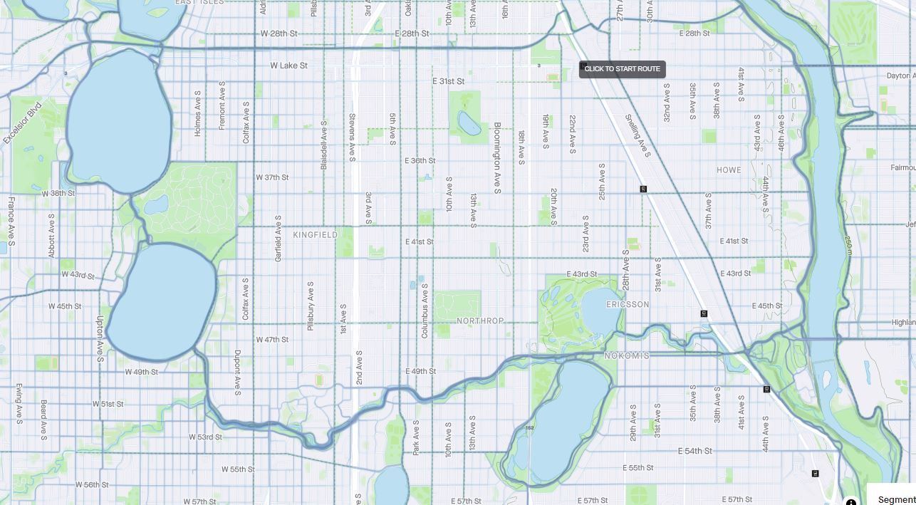
edit: for those that haven't used one of the above services, this may give you a better idea of what we mean. The darker the lines, the more cyclists there are riding on a given segment. RwGPS and Strava will both weigh this data in connecting the dots between desired stops/waypoints -
Last edited by WhyFi; 09-08-21 at 08:22 AM.
Likes For WhyFi:
09-08-21, 08:27 AM
#29
Tragically Ignorant
Join Date: Jun 2018
Location: New England
Posts: 15,613
Bikes: Serotta Atlanta; 1994 Specialized Allez Pro; Giant OCR A1; SOMA Double Cross Disc; 2022 Allez Elite mit der SRAM
Mentioned: 62 Post(s)
Tagged: 0 Thread(s)
Quoted: 8186 Post(s)
Liked 9,098 Times
in
5,054 Posts
Good point. I've never really used either of those for routing, I might have to start because I'm getting a bit tired of the same old same old. I've tried using Komoot for it, but it's not good at distinguishing good running routes from cycling routes.
Might be fun to trade bad routing suggestion anecdotes. My second worst one from GM was when it tried to put me on a path that is a rapidly flowing creek without rideable banks for a good part of the year. Guess which part of the year it was.
09-08-21, 08:33 AM
#30
Old enough, hmmm?

I use Google Map Pedometer https://www.mappedometer.com/
It does precisely what I want., nothing else required.
As far as results go Garmin Connect works for me.
It does precisely what I want., nothing else required.
As far as results go Garmin Connect works for me.
09-08-21, 08:37 AM
#31
Senior Member
Join Date: Jan 2010
Location: TC, MN
Posts: 39,520
Bikes: R3 Disc, Haanjo
Mentioned: 354 Post(s)
Tagged: 1 Thread(s)
Quoted: 20810 Post(s)
Liked 9,456 Times
in
4,672 Posts
09-08-21, 08:57 AM
#32
Tragically Ignorant
Join Date: Jun 2018
Location: New England
Posts: 15,613
Bikes: Serotta Atlanta; 1994 Specialized Allez Pro; Giant OCR A1; SOMA Double Cross Disc; 2022 Allez Elite mit der SRAM
Mentioned: 62 Post(s)
Tagged: 0 Thread(s)
Quoted: 8186 Post(s)
Liked 9,098 Times
in
5,054 Posts
RwGPS and Strava both route using popularity, based upon cyclist ride data; unless you've got a bunch of thrill-seeking cyclists regularly riding through the range, neither would route you through it.
edit: for those that haven't used one of the above services, this may give you a better idea of what we mean. The darker the lines, the more cyclists there are riding on a given segment. RwGPS and Strava will both weigh this data in connecting the dots between desired stops/waypoints -
edit: for those that haven't used one of the above services, this may give you a better idea of what we mean. The darker the lines, the more cyclists there are riding on a given segment. RwGPS and Strava will both weigh this data in connecting the dots between desired stops/waypoints -
09-08-21, 09:05 AM
#33

Sunshine

Join Date: Aug 2014
Location: Des Moines, IA
Posts: 16,614
Bikes: '18 class built steel roadbike, '19 Fairlight Secan, '88 Schwinn Premis , Black Mountain Cycles Monstercross V4, '89 Novara Trionfo
Mentioned: 123 Post(s)
Tagged: 0 Thread(s)
Quoted: 10964 Post(s)
Liked 7,491 Times
in
4,189 Posts
- the issue I mention is that gravel roads, which have been gravel roads since well before GPS was a thing, are listed as paved. This then does not apply to your comment since there is no change.
- if they cant keep up with changes, then they shouldnt offer the option. If this were a mile here and a mile there that is incorrect, it would be easy to chalk that up to changing road conditions that havent been changed in the system. This is especially true if they show gravel and the road sections are now paved since that is the most common road condition change. Having 80% of the gravel roads show as paved is a very different situation- being that incorrect makes the feature pretty useless.
Likes For mstateglfr:
 09-08-21, 10:55 AM
#35
Senior Member
Join Date: Sep 2007
Location: Far beyond the pale horizon.
Posts: 14,276
Mentioned: 31 Post(s)
Tagged: 0 Thread(s)
Quoted: 4259 Post(s)
Liked 1,360 Times
in
943 Posts
I agree, that is unreasonable.
- the issue I mention is that gravel roads, which have been gravel roads since well before GPS was a thing, are listed as paved. This then does not apply to your comment since there is no change.
- if they cant keep up with changes, then they shouldnt offer the option. If this were a mile here and a mile there that is incorrect, it would be easy to chalk that up to changing road conditions that havent been changed in the system. This is especially true if they show gravel and the road sections are now paved since that is the most common road condition change. Having 80% of the gravel roads show as paved is a very different situation- being that incorrect makes the feature pretty useless.
If you don't like the option, turn it off.
RWGPS isn't a mapping company. It's a "use map data" company.
The road surface option might encourage people to update the map data (RWGPS appears to use Openstreetmap data for the road surfaces).
09-08-21, 11:32 AM
#36
Senior Member
Join Date: Mar 2019
Posts: 1,606
Mentioned: 8 Post(s)
Tagged: 0 Thread(s)
Quoted: 581 Post(s)
Liked 921 Times
in
518 Posts
For off road riding, Google maps can be useful because you can see where what they call a 'road' ends, but there is often some sort of cut in the trees beyond that might be passable. One of my favourite mixed terrain loops isn't a loop on Google Maps, but you can clearly see a road coming from the North and a road coming from the south with a gap of a few hundred meters of some type of cut in the trees.
I don't carry any type of odometer or distance measuring tool when I ride, so I often use Google maps to estimate my ride distance after I get home, if I can remember which way I went.
I don't carry any type of odometer or distance measuring tool when I ride, so I often use Google maps to estimate my ride distance after I get home, if I can remember which way I went.
09-08-21, 11:36 AM
#37
Senior Member
Join Date: Oct 2013
Location: Mich
Posts: 7,389
Bikes: RSO E-tire dropper fixie brifter
Mentioned: 0 Post(s)
Tagged: 0 Thread(s)
Quoted: 6 Post(s)
Liked 2,972 Times
in
1,918 Posts
If a driveway was properly identified as such or a private drive was labeled right, it'd likely save someone's life.
__________________
-Oh Hey!
-Oh Hey!
09-08-21, 02:53 PM
#38
Newbie
I will generally use RWGPS but will also consult the google when necessary. In the ~100 mile radius around where I live there is a lot of really bad map data; often times with roads being a hundred feet from where they actually are, intersections in the wrong place, or most frustrating miles of spiderwebbing farm tracks and driveways (which are usually gated and locked anyway) all over the place that software thinks are navigable roads. Therefore, I've started heavily editing roads in open street map to reflect reality and I would urge everyone else to do the same. It helps everyone else out too when that map data trickles down into all the other mapping softwares that use OSM.
Likes For freetors:
09-08-21, 03:38 PM
#39
Senior Member
Join Date: Nov 2019
Posts: 701
Mentioned: 1 Post(s)
Tagged: 0 Thread(s)
Quoted: 347 Post(s)
Liked 418 Times
in
250 Posts
I will generally use RWGPS but will also consult the google when necessary. In the ~100 mile radius around where I live there is a lot of really bad map data; often times with roads being a hundred feet from where they actually are, intersections in the wrong place, or most frustrating miles of spiderwebbing farm tracks and driveways (which are usually gated and locked anyway) all over the place that software thinks are navigable roads. Therefore, I've started heavily editing roads in open street map to reflect reality and I would urge everyone else to do the same. It helps everyone else out too when that map data trickles down into all the other mapping softwares that use OSM.
09-08-21, 04:07 PM
#40
Senior Member
Join Date: Jul 2007
Location: South shore, L.I., NY
Posts: 6,883
Bikes: Flyxii FR322, Cannondale Topstone, Miyata City Liner, Specialized Chisel, Specialized Epic Evo
Mentioned: 18 Post(s)
Tagged: 0 Thread(s)
Quoted: 3240 Post(s)
Liked 2,086 Times
in
1,181 Posts
I agree, that is unreasonable.
- the issue I mention is that gravel roads, which have been gravel roads since well before GPS was a thing, are listed as paved. This then does not apply to your comment since there is no change.
- if they cant keep up with changes, then they shouldnt offer the option.
- the issue I mention is that gravel roads, which have been gravel roads since well before GPS was a thing, are listed as paved. This then does not apply to your comment since there is no change.
- if they cant keep up with changes, then they shouldnt offer the option.
