


Mountain Loop Highway from Darrington (pics)
 04-19-16, 08:57 AM
#1
Senior Member
Thread Starter
Join Date: Mar 2010
Location: Seattle, WA
Posts: 23,208
Mentioned: 89 Post(s)
Tagged: 0 Thread(s)
Quoted: 18883 Post(s)
Liked 10,646 Times
in
6,054 Posts
Mountain Loop Highway from Darrington (pics)
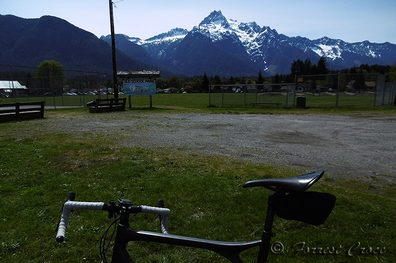
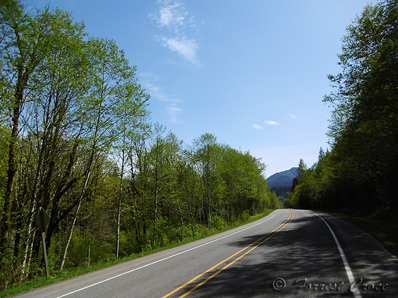
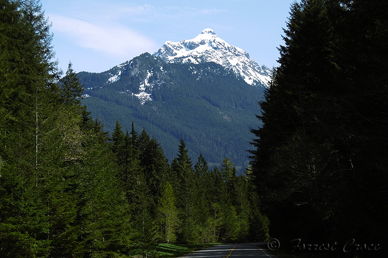
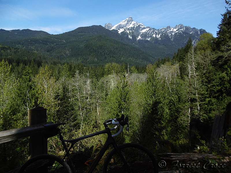
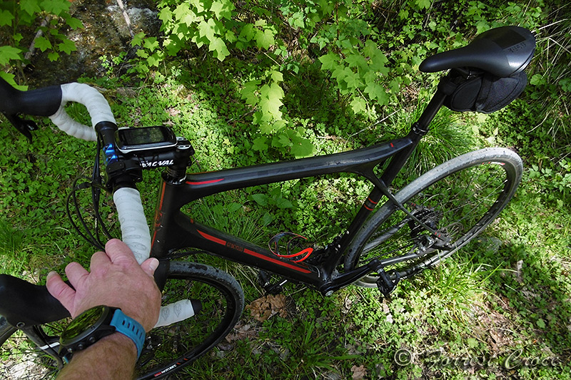
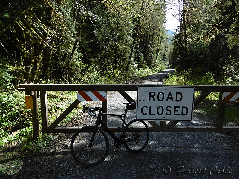
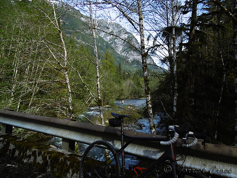
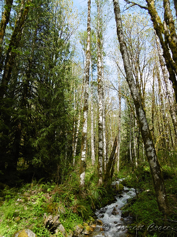
Drove out Saturday when it was warm but hazy, had a blast, got some mediocre pictures. It was a nice day. I turned around at the road closure, just shy of 5 miles below Barlow Pass, I wanted to go around the gate and continue but Beth and I had dinner plans.

Likes For Seattle Forrest:
 04-21-16, 07:50 AM
#3
Senior Member
Nice SF!!
BTW, I hear DOT is opening Hwy 20 from Diablo lake to Winthrop this Friday at 11am. Bummer as I was hoping to ride the bike before the cars.
BTW, I hear DOT is opening Hwy 20 from Diablo lake to Winthrop this Friday at 11am. Bummer as I was hoping to ride the bike before the cars.
05-28-20, 02:35 PM
#5
Junior Member

Nice ride! Have always wanted to do the loop from Granite > Arlington > Darrington > Barlow Pass > back to Granite.
05-28-20, 05:45 PM
#6
Senior Member
Thread Starter
Join Date: Mar 2010
Location: Seattle, WA
Posts: 23,208
Mentioned: 89 Post(s)
Tagged: 0 Thread(s)
Quoted: 18883 Post(s)
Liked 10,646 Times
in
6,054 Posts
I can't remember the name of the road but there's a really nice one between Arlington and Granite. If you're heading toward Darrington it's the last stop light, goes past River Meadows or something park. Rolling farmland. Almost no shoulders, but almost no traffic too.
07-04-20, 12:37 AM
#7
Senior Member
I can't remember the name of the road but there's a really nice one between Arlington and Granite. If you're heading toward Darrington it's the last stop light, goes past River Meadows or something park. Rolling farmland. Almost no shoulders, but almost no traffic too.
07-04-20, 02:17 AM
#8
Senior Member
If it goes past River Meadows Park, he's referring to Jordan Road. It roughly parallels the South Fork Stillaguamish river between Granite Falls and Arlington, on the north side of the river. Burn Road plays a similar role on the south side of the river, although it's more atop a ridge and mostly far from from the water. Both roads are reasonably fun to ride in the southeast direction, although I think Jordan Road is definitely more fun in the northwest direction.
It's possible to cross the river at Jordan River Trails midway between Arlington and Granite Falls, if you're on foot or on a bicycle.
Jordan Road is paved. There's a lot of gravel in the Cascades near Arlington and Granite Falls, but not really any gravel routes between the two. As far as I know, there might not even be any extant connections between the Mountain Loop Highway valley and Highway 530 by way of the Weyerhauser land behind Jim Creek, but it comes FRUSTRATINGLY close. Here's a photo from a ride that started on the Mountain Loop just outside of Granite Falls:

This was taken right by Wheeler Mountain and that's Oso down below.
grrrrrr
It's possible to cross the river at Jordan River Trails midway between Arlington and Granite Falls, if you're on foot or on a bicycle.
Jordan Road is paved. There's a lot of gravel in the Cascades near Arlington and Granite Falls, but not really any gravel routes between the two. As far as I know, there might not even be any extant connections between the Mountain Loop Highway valley and Highway 530 by way of the Weyerhauser land behind Jim Creek, but it comes FRUSTRATINGLY close. Here's a photo from a ride that started on the Mountain Loop just outside of Granite Falls:
This was taken right by Wheeler Mountain and that's Oso down below.
grrrrrr
Likes For HTupolev:

Thread
Thread Starter
Forum
Replies
Last Post
Seattle Forrest
Road Cycling
9
03-12-13 10:25 AM
funrover
Clydesdales/Athenas (200+ lb / 91+ kg)
17
10-02-12 03:28 PM
Seattle Forrest
Road Cycling
36
04-24-12 07:57 PM
